Chipping Campden on the Web
www.chippingcampden.co.uk
site by QuinSolve :: W - www.quinsolve.co.uk :: E - enquiries@quinsolve.co.uk :: T - +44 (0)1789 868191

Walking west along the High Street, turn right at St
Catharine's Catholic Church turn right into Back lane, at the junction turn left
into Hoo Lane. The roadway now becomes a green lane, please note the footpath
and the bridlepath are segregated for the benefit of all. Proceed to the top of
the green lane turning left into Kingscomb Lane, then following the signposts
turn right along a field edge path to the stile set between two ash trees. Turn
left and walk across the top of Dovers Hill enjoying the extensive views to the
West and the Malvern Hills, taking in both the OS column and Griggs
Topograph.
Leave this National Trust property through the car park, turn
right going down a 14% gradient. As you approach woodland on your right, look
out for a stile and signpost on your left. Go over the stile follow the path
with the hedge on your left and extensive views to your left. Reach a gate and
bear right downhill to a waymarked stile in the bottom fence keep descended
through a second stile unitl you reach a footbridge over a stream in the far
left corner of the field. You will find the first of two foot bridges - go left
and cross the subsequent stile and follow a brook on your right for 100 yards
before taking a left to a waymarked stile in an indented corner.

Cross the stile and then the footbridge over the stream then turn
left along a woodland track - please note this can be muddy. Keeping the stream
on your left walk uphill up the old Roman Road - known as Ryknild Street, this
follows the edge of the fields, with the perimeter fence of Weston Park on your
left. Go through a gate in the corner which will take you back into the woods,
follow the track up to the road and turn left, at the junction go ahead towards
Chipping Campden. The trees of Weston Park are still on your left, after a small
triangle of trees on your right look out for the Cotswold Way signpost, you will
note the Cotswold Way runs parallel with the road at this point, look for a gate
on the left hand side, this marks where you will leave the Cotswold Way by
bearing right down across an arable field until you reach Dyers Lane, turn right
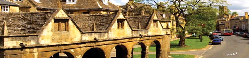
and follow the road into Chipping Campden.